- English
- Русский
Languages:
This site is created using Wikimapia data. Wikimapia is an open-content collaborative map project contributed by volunteers around the world. It contains information about 32520586 places and counting.
Learn more about Wikimapia and cityguides.
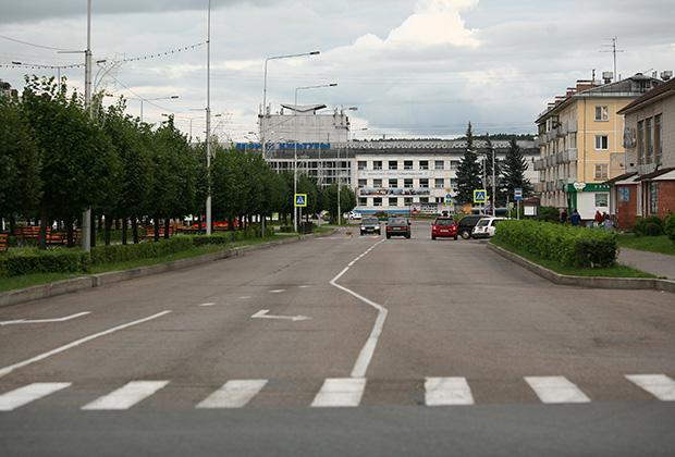
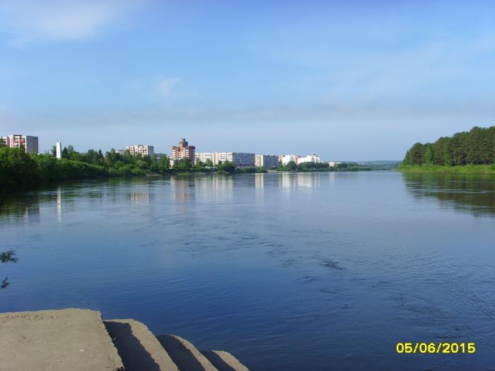
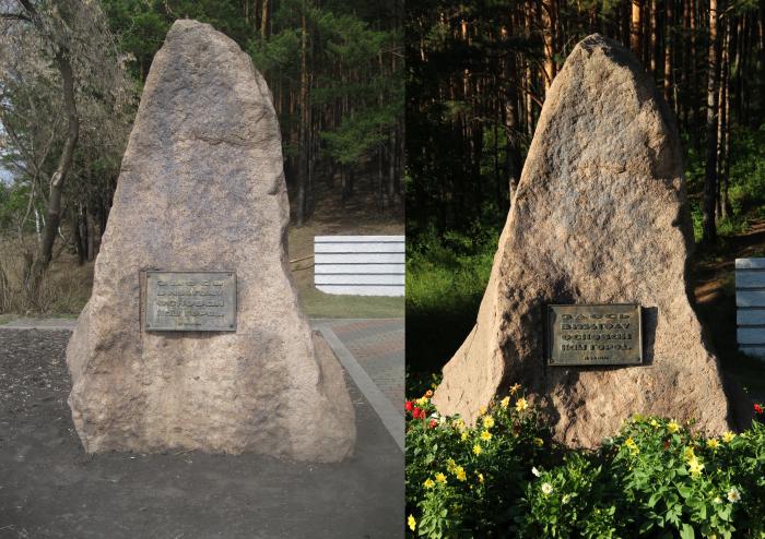
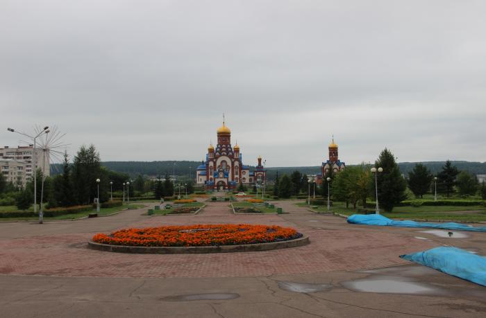
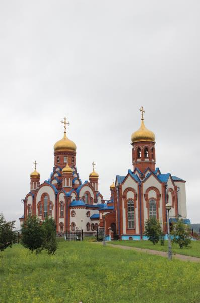
Zelenogorsk
Closed town in Krasnoyarsk Krai, Russia, located on the left bank of the Kan River 180 kilometers (110 mi) above its confluence with the Yenisei River. It was formerly known as Krasnoyarsk-45 (Красноя́рск-45) and was involved in enriching uranium for the Soviet nuclear program. Population: 66,056 (2010 Census).
It was granted town status in 1956. As a closed town, it went under the code-name Krasnoyarsk-45 until Russian President Boris Yeltsin decreed, in 1992, that such cities could use their historical names. The town appeared on no official maps until then. As is the tradition with Soviet towns containing secret facilities, the designation "Krasnoyarsk-45" is actually a postcode; it implied that the place was located directly in the city of Krasnoyarsk, but really 160 kilometers (99 mi) from it. The city still remains closed, by a vote of the inhabitants. Access is possible only by having a special entry permit issued by the city's authorities.
Wikipedia article: http://en.wikipedia.org/wiki/Zelenogorsk,_Krasnoyarsk_Krai
Closed town in Krasnoyarsk Krai, Russia, located on the left bank of the Kan River 180 kilometers (110 mi) above its confluence with the Yenisei River. It was formerly known as Krasnoyarsk-45 (Красноя́рск-45) and was involved in enriching uranium for the Soviet nuclear program. Population: 66,056 (2010 Census).
It was granted town status in 1956. As a closed town, it went under the code-name Krasnoyarsk-45 until Russian President Boris Yeltsin decreed, in 1992, that such cities could use their historical names. The town appeared on no official maps until then. As is the tradition with Soviet towns containing secret facilities, the designation "Krasnoyarsk-45" is actually a postcode; it...
 Reduce description
Zelenogorsk on the map.